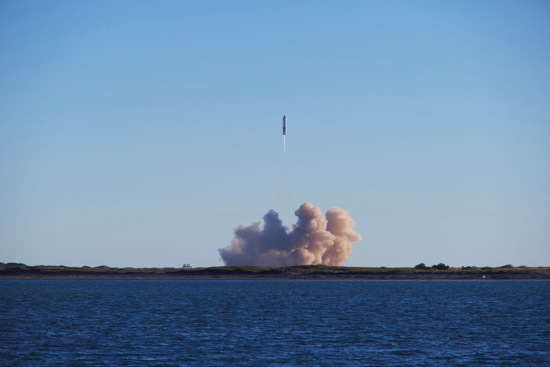
HawkEye 360 satellites have been successfully launched, marking a significant advancement in maritime monitoring technology. This launch aims to improve tracking and data collection in maritime environments.
Overview of the HawkEye 360 Launch
Recently, Rocket Lab successfully launched three HawkEye 360 satellites designed to enhance maritime monitoring capabilities. The launch, which took place from the company’s facility in New Zealand, marks a significant advancement in the deployment of satellite technology for tracking maritime activities.
The HawkEye 360 satellites are equipped with advanced radio frequency (RF) geolocation technology that enables them to detect and analyze signals from various maritime vessels. This capability is crucial for numerous applications, including illegal fishing detection, piracy prevention, and search and rescue operations on the high seas.
During the launch, the satellites were deployed into a low Earth orbit, where they will work collaboratively to provide comprehensive data coverage. This constellation of satellites will enhance situational awareness for governments and organizations involved in maritime safety and security.
According to experts, the integration of the HawkEye 360 satellites into existing maritime monitoring frameworks will significantly improve the efficiency and effectiveness of operations. The data collected can be leveraged by various stakeholders, including coast guards, environmental agencies, and shipping companies, to ensure compliance with international regulations.
As maritime traffic continues to grow globally, the need for reliable monitoring solutions has never been more critical. The successful launch of these satellites underscores Rocket Lab’s commitment to advancing space technology for real-world applications.
Significance of Maritime Monitoring
Maritime monitoring has emerged as a critical component in ensuring the safety and security of global shipping routes. The significance of this monitoring is underscored by the challenges posed by illegal fishing, piracy, and unregulated shipping practices. These activities not only threaten marine ecosystems but also impact national economies and international trade.
The deployment of HawkEye 360 satellites plays an essential role in addressing these challenges. Equipped with advanced radio frequency (RF) technology, these satellites can detect and analyze signals from vessels, providing crucial data that enhances situational awareness for maritime authorities. The ability to monitor vast ocean expanses in real-time offers a new layer of security and oversight.
Furthermore, the integration of satellite data into maritime operations enables authorities to:
- Identify suspicious activities: By tracking vessel movements and behaviors, authorities can pinpoint potentially illegal operations.
- Enhance search and rescue efforts: Quick access to satellite data can aid in locating distressed vessels and coordinating timely responses.
- Support environmental protection: Monitoring can help ensure compliance with environmental regulations, safeguarding marine habitats.
In a world where maritime trade is the backbone of the global economy, the advancements brought by HawkEye 360 satellites represent a significant leap forward in safeguarding our oceans and ensuring safe passage for maritime trade.
How HawkEye 360 Satellites Operate
The operation of HawkEye 360 satellites is a significant advancement in maritime monitoring technology. These satellites utilize a unique combination of radio frequency (RF) data collection and advanced machine learning algorithms to monitor maritime activity efficiently.
Each HawkEye 360 satellite is equipped with specialized sensors that can detect, geolocate, and analyze RF signals emitted from vessels. This capability allows them to identify various types of marine traffic, including commercial shipping, fishing vessels, and even illegal activities such as piracy and unregulated fishing.
The satellites operate in a constellation, which means they work together to provide comprehensive coverage of the oceans. Their ability to capture and process data in real-time enhances situational awareness for maritime stakeholders, including governments, coastguards, and commercial entities.
Key features of the HawkEye 360 satellites include:
- Advanced RF Geolocation: This technology allows for precise tracking of vessels based on their emitted signals.
- Data Fusion: The satellites combine RF data with other sources, such as AIS (Automatic Identification System), to improve accuracy.
- Scalability: The system can be expanded with additional satellites to enhance coverage and capability.
Overall, HawkEye 360 satellites represent a crucial tool in the effort to monitor and protect marine environments effectively.
Rocket Lab’s Role in Satellite Launches
Rocket Lab has emerged as a pivotal player in the realm of satellite launches, particularly with its recent success in deploying HawkEye 360 satellites. The company’s Electron rocket has proven to be a reliable platform for delivering small satellite payloads into orbit, showcasing its capabilities in supporting advanced maritime monitoring technologies.
During the latest launch, Rocket Lab successfully placed three HawkEye 360 satellites into low Earth orbit, enabling enhanced capabilities for tracking maritime activities. This achievement not only highlights Rocket Lab’s technical expertise but also its commitment to supporting innovative solutions in the space industry.
Key aspects of Rocket Lab’s role in these launches include:
- Launch Frequency: Rocket Lab has established a frequent launch schedule, allowing for timely deployment of critical satellite systems.
- Cost-Effectiveness: The company’s model provides a more affordable option for satellite operators, facilitating the growth of small satellite constellations like those of HawkEye 360.
- Technical Expertise: Rocket Lab’s engineering team has developed advanced technologies that ensure reliable launches and orbital insertion for multiple payloads.
As demand for maritime monitoring increases, Rocket Lab’s contributions in launching HawkEye 360 satellites stand as a testament to the evolving landscape of satellite technology and its implications for global maritime security.
Future of Satellite Technology in Maritime
The future of satellite technology in maritime monitoring looks promising, particularly with the advancements brought by HawkEye 360 satellites. These innovative satellites are designed to enhance our understanding of maritime activities, thus ensuring safer and more secure oceans. As global trade continues to expand, the need for effective monitoring systems becomes increasingly critical.
One of the key developments in satellite technology is the integration of artificial intelligence and machine learning. These systems can analyze vast amounts of data collected by HawkEye 360 satellites, allowing for real-time decision-making. This capability is essential for identifying suspicious activities, such as illegal fishing or smuggling operations, which pose threats to maritime security.
Moreover, the deployment of additional HawkEye 360 satellites will expand coverage and improve the accuracy of maritime tracking. This expansion is vital for nations and companies that rely on safe shipping lanes for trade. As more satellites are launched, the ability to monitor maritime traffic will become more comprehensive, providing valuable insights for regulatory agencies and environmental organizations alike.
In summary, the future of satellite technology in maritime monitoring is set to evolve significantly, with HawkEye 360 satellites at the forefront. By enhancing surveillance capabilities and utilizing advanced analytical tools, these satellites will play a crucial role in ensuring the safety and security of our oceans.
Sources
Related stories
Tesla rollout update: Worst 600 installs with 0.1% fleet impact · Bud GPU Foundry: Best Proven Open-Source Control Plane · Apple Support App Update: Best Easy Guide to iPhone Duo